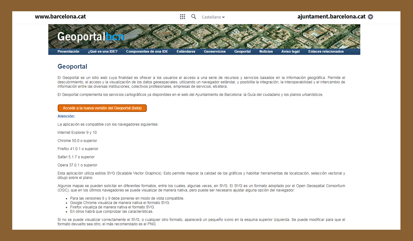
Barcelona City Council’s SITEB (Barcelona Territorial Information System) cartographic infrastructure, which encompasses territorial-related management, planning and service data, includes urban planning, cadastral data, topographical features, the road system, administrative divisions, and so on. Now, as well as on Geoportalbcn , this information can also be found on Open Data BCN
Geoportalbcn


Add new comment
Log in or register to post comments